မြန်မာဘာသာ
 Topographic Maps that have been used since pre World War II time were based on Lambert Conical Projection. Myanmar is a State where extent of North- South direction is larger than that of East-West direction. In such condition, UTM mapping system is suitable for Myanmar. For nationwide coverage, (1134)map sheets at 1: 50,000 scale, (322)map sheets at 1: 100,000 scale and(93)map sheets at 1:250,000 scale were completely published.
UTM maps are based on Cylindrical Projection while Lambert maps are based on Conical Projection. But Datum for both projections is the same Ellipsoid, Everest.
Mapping Process
Normal Practice for map production in Survey Department is as follows:
(a) Taking Aerial Photos (using Aircraft and Aerial Camera)
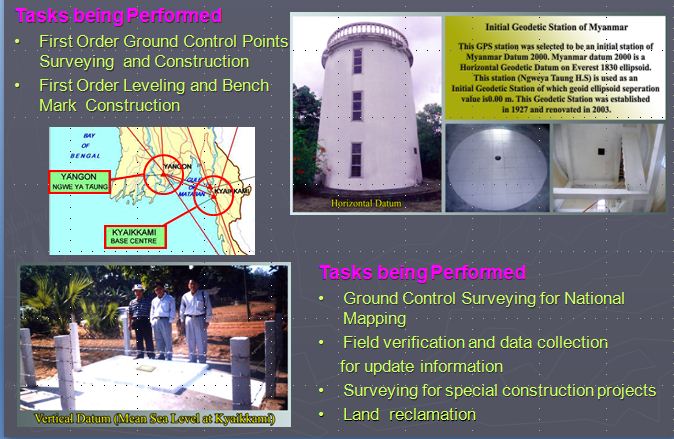
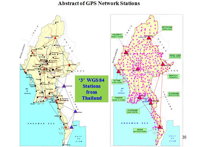
(b) Ground Surveying (using GPS, Level instruments)
(d) Map Drawing (using Match AT, Digital Video Plotter (DVP), TNT mips and Summit Evolution Softwares)
(e) Verification (Checking the Ground features in the field )
(f) Map Editing
(g) Map Printing (using HEIDELBERG printing press)
(h) Quality Control