ပြည်ထောင်စုသမ္မတမြန်မာနိုင်ငံတော်အစိုးရ
သယံဇာတနှင့်သဘာဝပတ်ဝန်းကျင်ထိန်းသိမ်းရေးဝန်ကြီးဌာန
မြေတိုင်းဦးစီးဌာန
တိကျမှန်ကန်မြေတိုင်း“စံ”

 မြန်မာဘာသာ
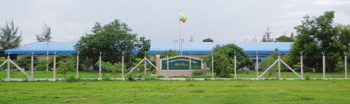
From 1905 to World War II , under the British rule, all the surveying works of Myanmar were undertaken by the Survey of India. At the end of World War II, the British government separated surveying works of Myanmar from Sur...
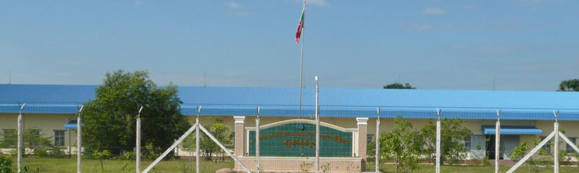
Survey Department(Head Office)
V4 Circular Road
Ottara Thiri Township, Naypyidaw
Ph:067-413072
Ph: 067 - 413073
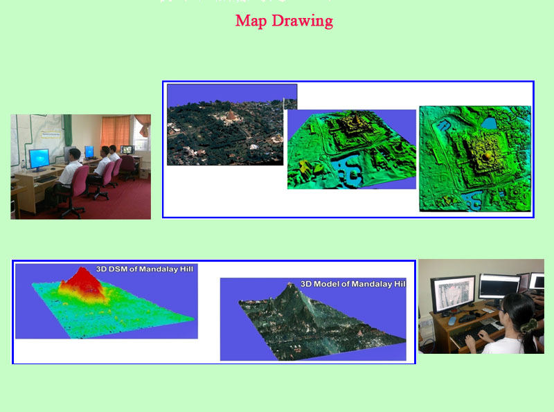
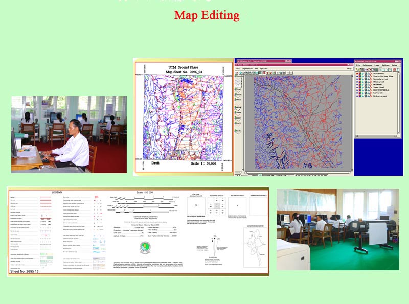
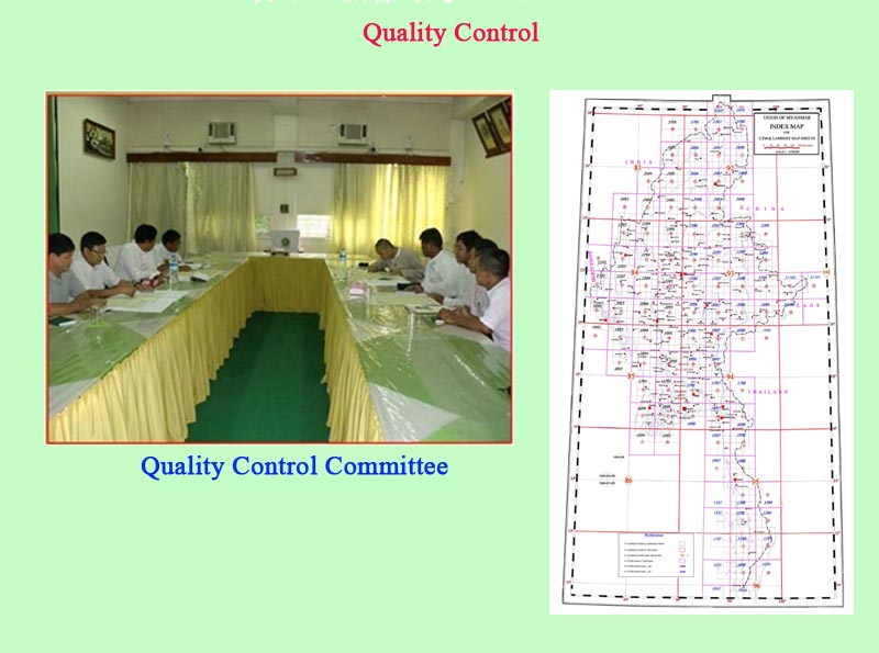
(a) Production of topographic maps
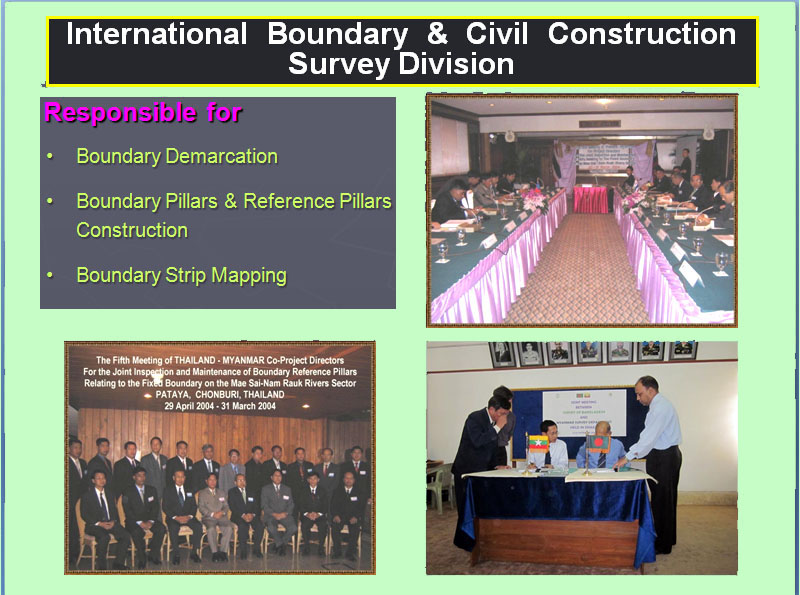
(b) Joint boundary demarcation with neighbouring countries
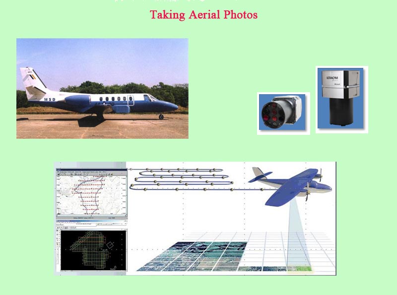
(c) Taking photographs throughout the country
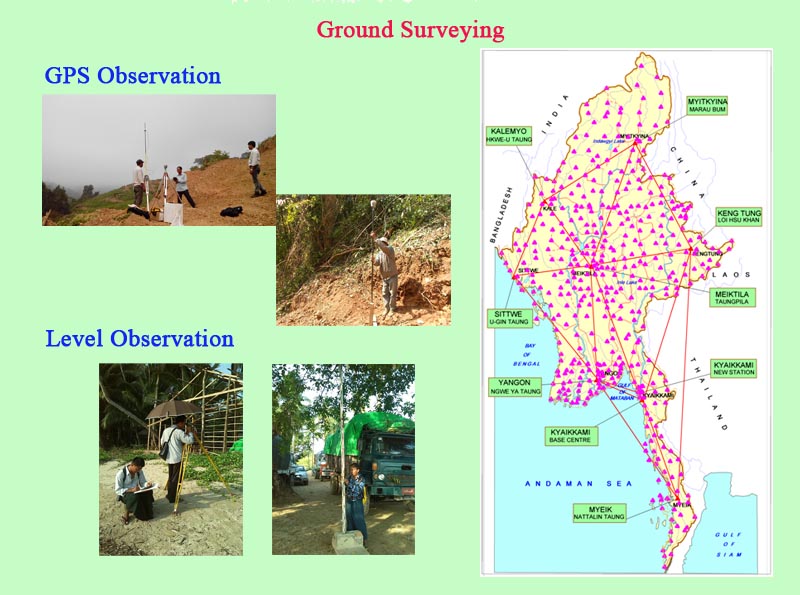
(d) Establishment and maintenance of GPS Control Stations and leveling Benchmarks (BMs)
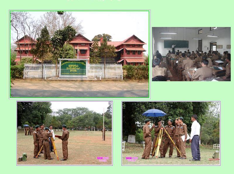
(e) Conducting the survey training
(f) Producing the maps for certain projects on demand
News
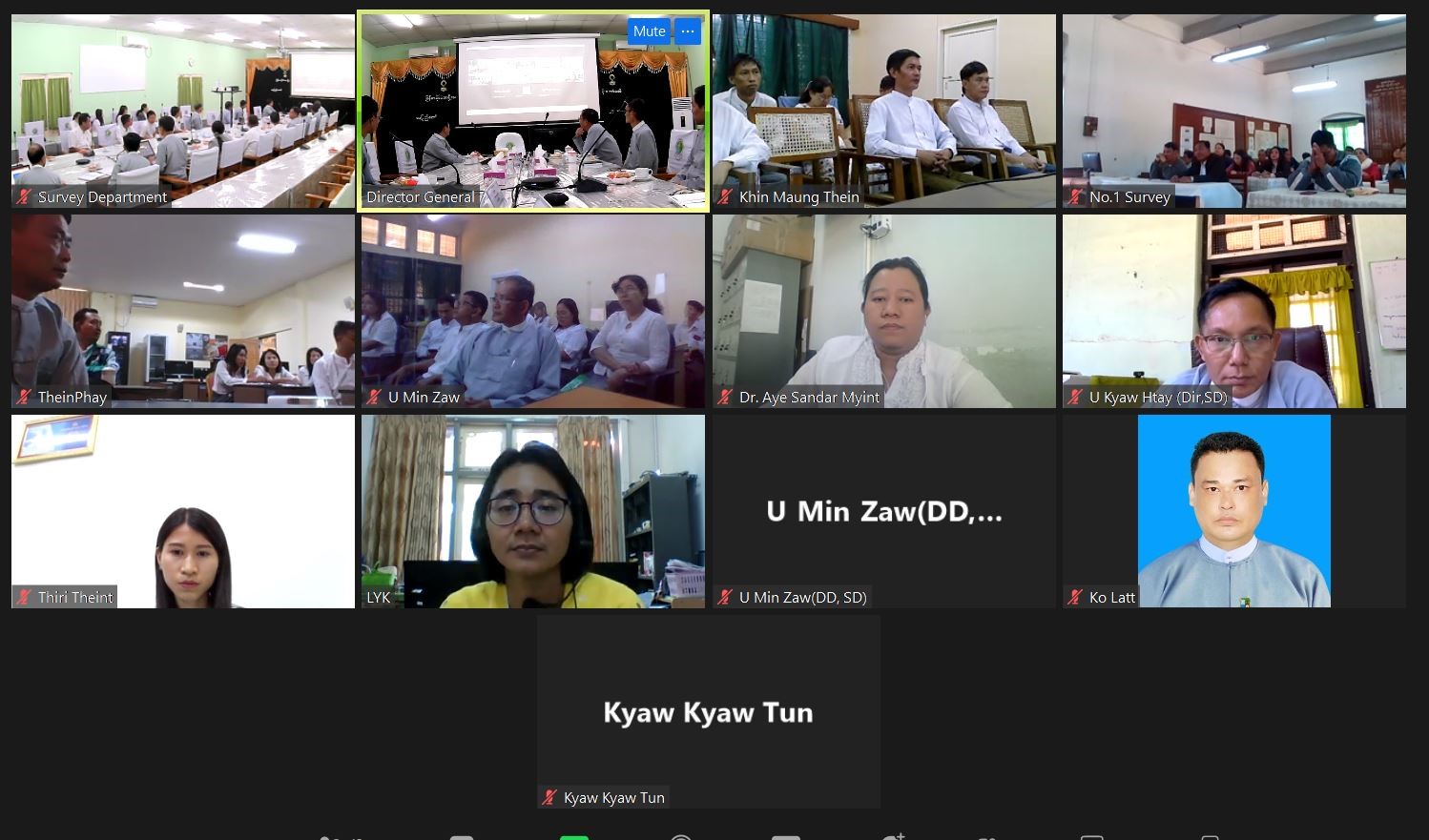
Knowledge Sharing Event
The Knowledge Sharing Event of technical experience study on the ArcGIS Enter...
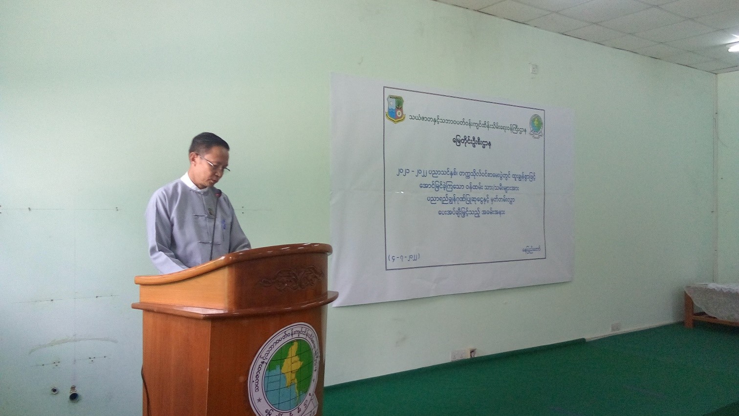
Ceremony of honour
The ceremony was celebrated to honour the outstanding students from Survey Department’s...
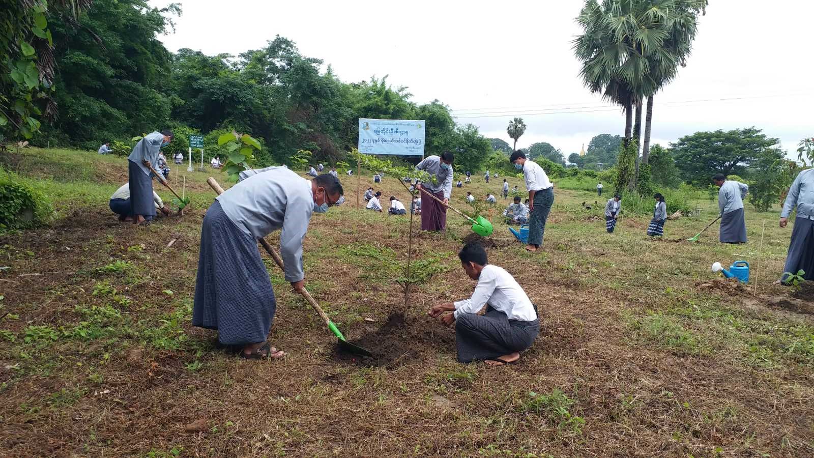
Tree Planting Ceremony
Tree Planting Ceremony was held at Survey Department (Nay Pyi Taw) on (1-7-2022).
Introduction of GNSS CORS Network Application Ceremony, Surveying Department
...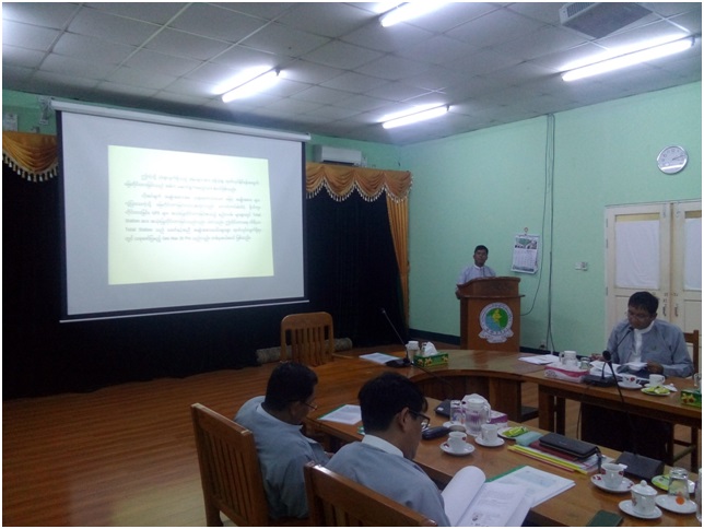
Paper reading session was held at Survey Department (Nay Pyi Taw), Ministry of Natural Resources and Environmental Co...
Photo Gallery