
 မြန်မာဘာသာ
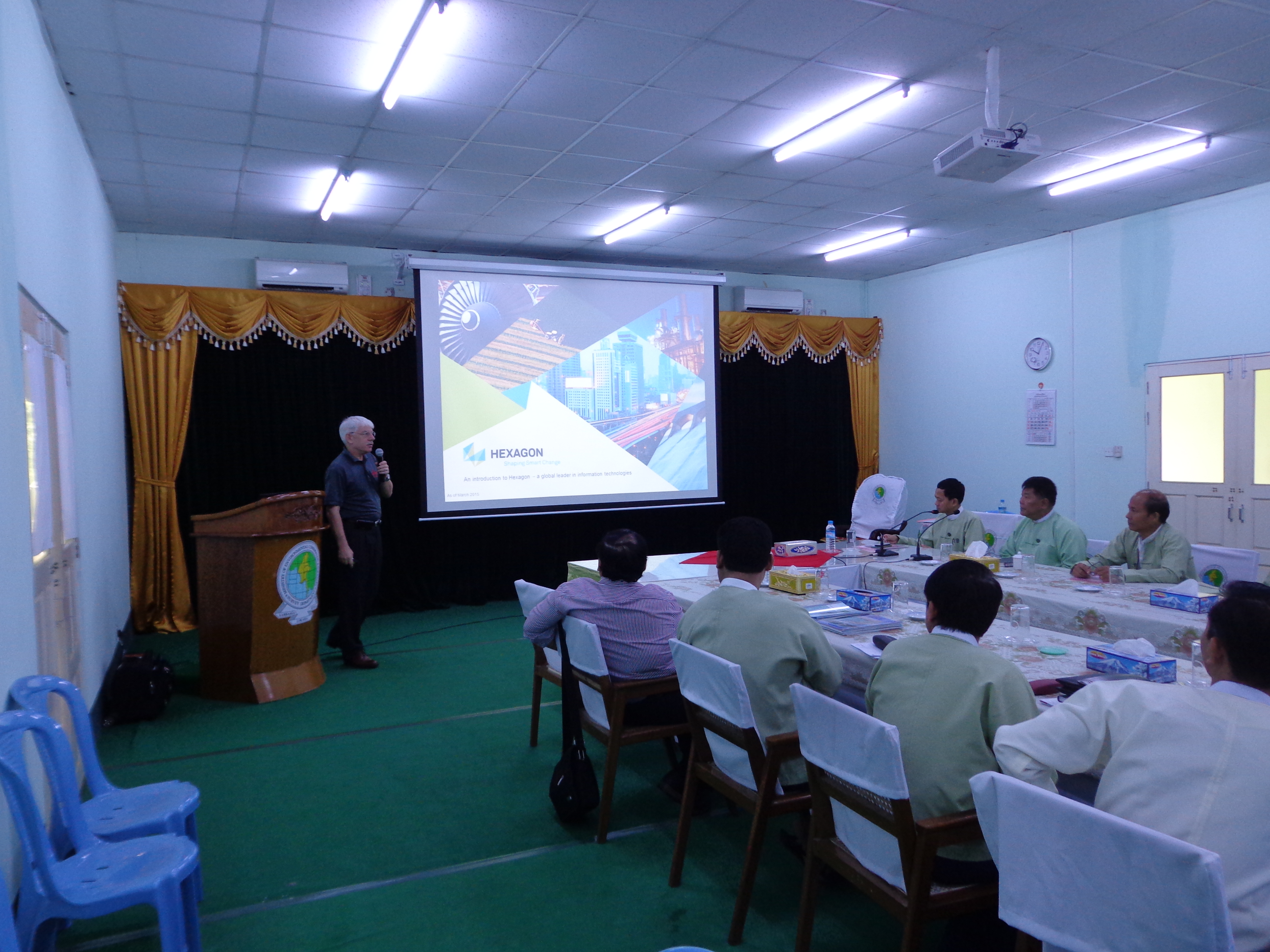
Presentation on Integrated Mapping Solution based on Leica Geosystem and Swissdrones was held at Survey Department (Nay Pyi Taw) on (9 - 7 - 2015).
Officers and Staff members of the Survey Department attended the presentation. Airborne Mapping Solution and Hydro Survey by Swissdrones in combination with Leica RCD30 Camera and Leica AHAB HawkEye III LiDAR System was presented by Mr. Rolf Schaeppi, Director, Geospatial Solution-APAC.
